Data systems
Explore data access systems managed by the UK Polar Data Centre and Mapping and GIS team
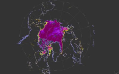
Explore polar data – from long-term environmental, biological, geological and meteorological datasets, to specimens, maps, and photographs. As well as Arctic and Antarctic data produced from BAS science programmes, this section includes data from UK-funded polar research deposited with the UK Polar Data Centre.
Explore data access systems managed by the UK Polar Data Centre and Mapping and GIS team

A web-based system to discover polar datasets collected by UK-funded scientists

Find out what physical collections we have in store at Cambridge
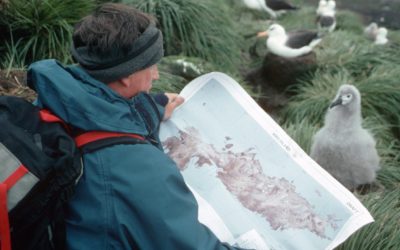
If you're working in Antarctica or just visiting, it's more than likely you will need maps